

At Midwest, we take a hands-on approach to each project, tailoring our scanning technology to meet your unique needs. By using advanced terrestrial scanners, we ensure that every survey is both cost-effective and quick, while still providing the precision you require for your specific project.
Our systems are designed to gather accurate data for all kinds of spaces—from building exteriors to complex oil and gas facilities. This detailed information gives you a clear picture of site conditions, helps with precise planning, and makes it easier to create digital models that can speed up fabrication and minimize changes on site.
To make the data even more accessible, we capture photorealistic colours during our scans, ensuring everything is easy to understand and integrate into your project smoothly.

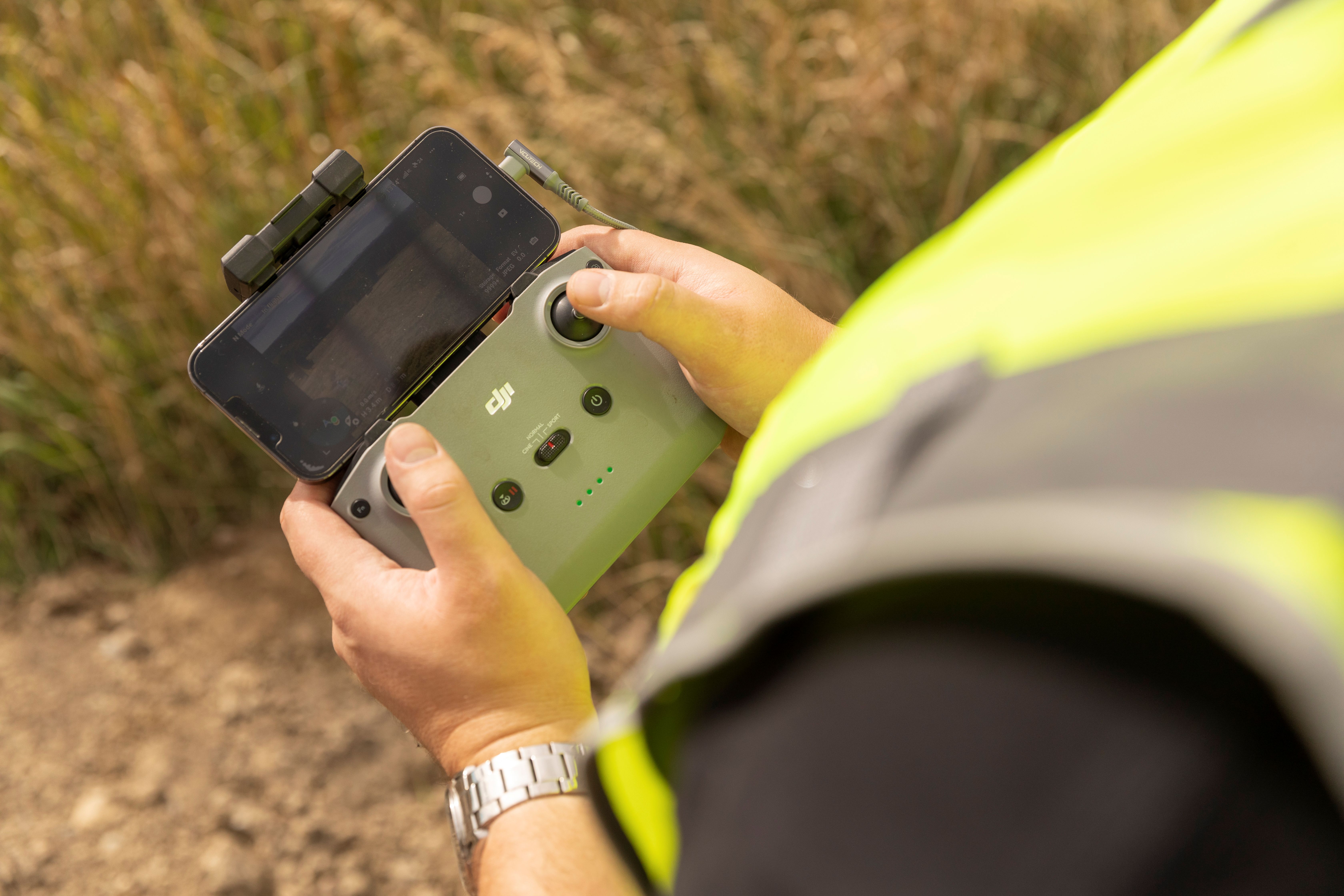
We have a team of skilled team who bring both basic and advanced drone expertise to every project, whether it's in a bustling city or a quiet rural area. With a range of drones—small and agile to more powerful systems—we capture stunning, high-definition aerial images that offer valuable insights into your project's progress and scope.
We create engaging aerial flythroughs and videos that help keep everyone involved and informed. Plus, our use of advanced tools like photogrammetry and LiDAR allows us to create detailed models of the ground surface, perfect for planning and analyzing volumes. With customizable drone setups, we can adapt to your specific project needs, ensuring the perfect solution every time.

At Midwest, we use advanced drone technology to gather precise data, whether we're working in a busy city or a quiet rural area. By combining LiDAR with our UAVs (drones), we create detailed and accurate maps of everything from buildings to powerlines, making it easier to plan and visualize complex structures.
Our LiDAR systems provide high-quality surface data that’s perfect for large-scale projects or fine-tuned surface work. This helps us save time on-site, cutting down on the need for extra visits and ensuring everything runs smoothly and efficiently from start to finish.

We offer 360-degree and timelapse camera solutions that give you an immersive, up-close view of site conditions, so you don’t always have to be there in person. Our 360-degree photos can be easily shared with stakeholders through custom web maps or Google Earth, making collaboration simple and seamless.
Our timelapse videos capture the exciting progress of construction, perfect for town halls or public presentations where you want to showcase the journey. These cameras are easy to mount on vehicles or personnel, providing a complete picture of your project no matter the terrain or time of year.

At Midwest, we help bring your complex project data to life with our easy-to-understand 3D models. By combining everything from spreadsheets to GPS survey data, we create clear, unified visuals that support everything from managing assets to planning future projects.
Our models are built with real world measurements, allowing for accurate verification and easy measurements once the project is complete. With customizable features, we can highlight the details that matter most to you and your team, making it simple to share important information with stakeholders and keep everything on track.

We bring your projects to life with our Virtual Reality (VR) systems, offering an immersive, three-dimensional experience that lets stakeholders explore both planned and completed construction in incredible detail. Our VR tools let you simulate different weather conditions, times of day, and even light pollution, providing valuable insights for planning, environmental assessments, and reviews.
These interactive models are perfect for project open houses, public presentations, and town halls, creating an engaging space for feedback and collaboration. Designers can easily customize the experience, importing assets and adjusting the model to fit the unique needs of each project. It’s a fun, informative way to connect with your team and community while keeping everyone on the same page.